We use cookies to make your experience better. To comply with the new e-Privacy directive, we need to ask for your consent to set the cookies. Learn more.
The Peters Projection Map
Lead Time
1-3 Days
In stock
SKU
HE340983
As low as
£27.25
£22.71
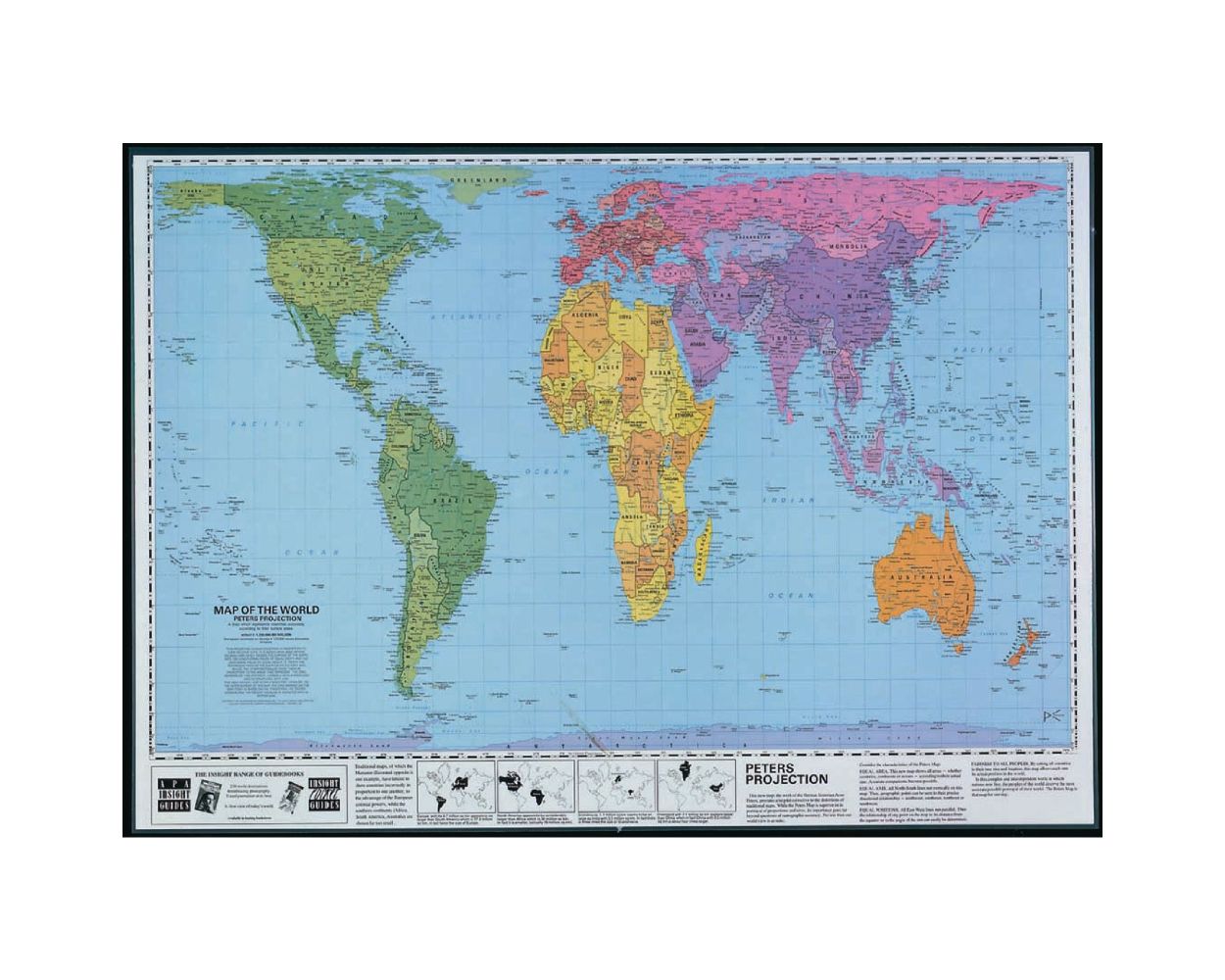
This laminated map shows the world's land areas and oceans in their true proportions. Labelled with continents, countries, major cities, oceans and seas, this huge map is perfect for every classroom.
Area scale: 1 square centimetre: 123,000 square kilometres. Size: 590 x 840mm.
- KS2 and upwards
- Laminated and clearly labelled with detailed cartography
- Scale 1:123,000
- Dimensions: 590 x 840mm
| Product Type | Geography |
|---|---|
| Lead Time | 1-3 Days |
| Type of Product | Maps & Compasses |