We use cookies to make your experience better. To comply with the new e-Privacy directive, we need to ask for your consent to set the cookies. Learn more.
Political Map of the British Isles Pk5
Lead Time
1-3 Days
In stock
SKU
HE1003502
As low as
£42.11
£35.09
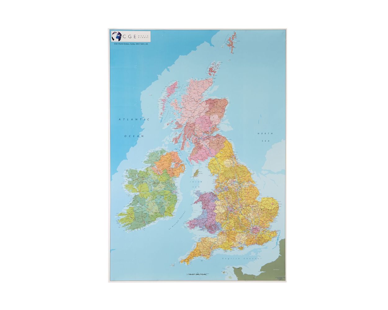
A pack of 5 large paper maps clearly showing the borders between England, Scotland, Wales and Northern Ireland. Counties are shown in different shades. Cities and towns, major road and rail routes, national parks and physical features are clearly named. The size of the maps makes them ideal for projects and displays. Printed in the UK using modern digital cartography. Size of each map: 1000mm x 700mm.
- Pack of 5
- Clearly labelled boundaries and details
- Ideal for individual and groupwork tasks
- Dimensions: 1000mm x 700mm
| Product Type | Geography |
|---|---|
| Lead Time | 1-3 Days |
| Type of Product | Maps & Compasses |